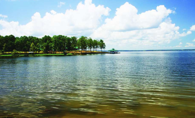
Freshwater ecosystems can seem to have a heartbeat over time with the fluctuation of water levels. Seasonal changes cause evaporation and over fill, energy production and fishing tournaments are also factors to consider.
Sabine river flow from northern Texas weather systems provide a service current to fill the lake. Please contact the Sabine River Authority in Louisiana or Texas with any news regarding the lake level near you.
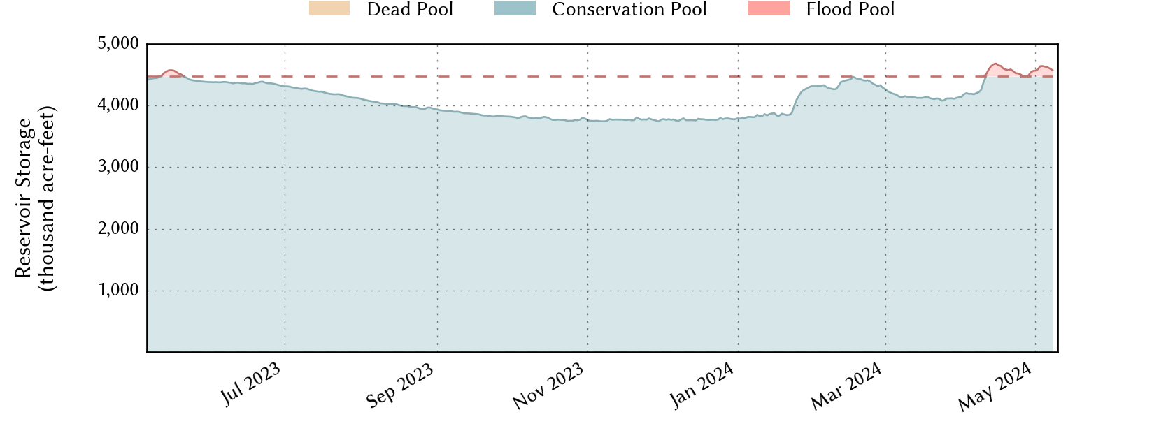
Hydrological Regime
Characteristic variations in the state of a body of water that are regularly repeated over time and space are known as hydrological regime. This has to do with how wildlife and human life react to and utilize the water body. As well as how the environment and seasonal climates effect the region.
The hydrological regime of Toledo Bend reservoir bring in the highest average in May and begin to decline for the lowest average to be recorded in October.
Visit the U.S. Geological Survey Gauge for