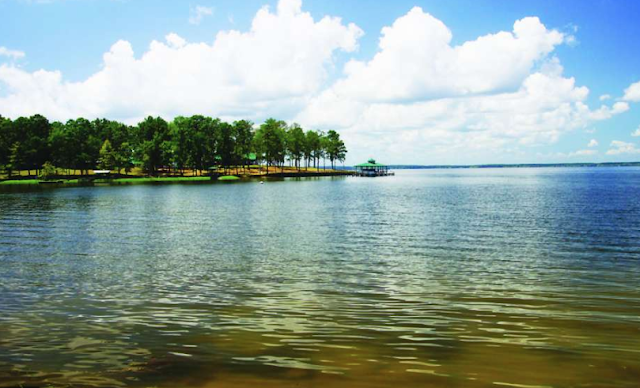
Where is Toledo Bend Lake
Toledo Bend lake's main body runs north and south just as the Sabine river which feeds the lake. Sabine river separates Texas from Louisiana creating a vast majority of the state border. Towards the northern end of the state border is where you can find Toledo Bend.
The Toledo Bend dam is on the southern side of the reservoir about 15 miles from Burkeville, TX and 27 miles from Leesville, LA. The main body of the lake is approximately 65 miles long. The northern most point of the lake is found at Logansport, LA where the river begins to feed into the lake.
You can drive across the mid lake region via the Pendelton bridge which accessed by Highway 6 in Louisiana or Highway 21 in Texas. Highway 6 comes from Many, LA and Highway 21 comes from San Augustine, TX.
Since the lake is so large you can access many regions of the north, mid, and south regions from various cities. Shreveport to Logansport, LA is less than 49 miles. Lufkin, TX to the Pendelton bridge is 60 miles. Natchitoches, LA is 42 miles to the mid lake of Toledo Bend.


